J2 is evolving! Read on to learn about some exciting changes.
From 1 July, J2 will integrate and sit fully within Disaster Relief Australia. While we will continue to operate as a social enterprise, we will also leverage and professionalise the unique capabilities that sit within the organisation.
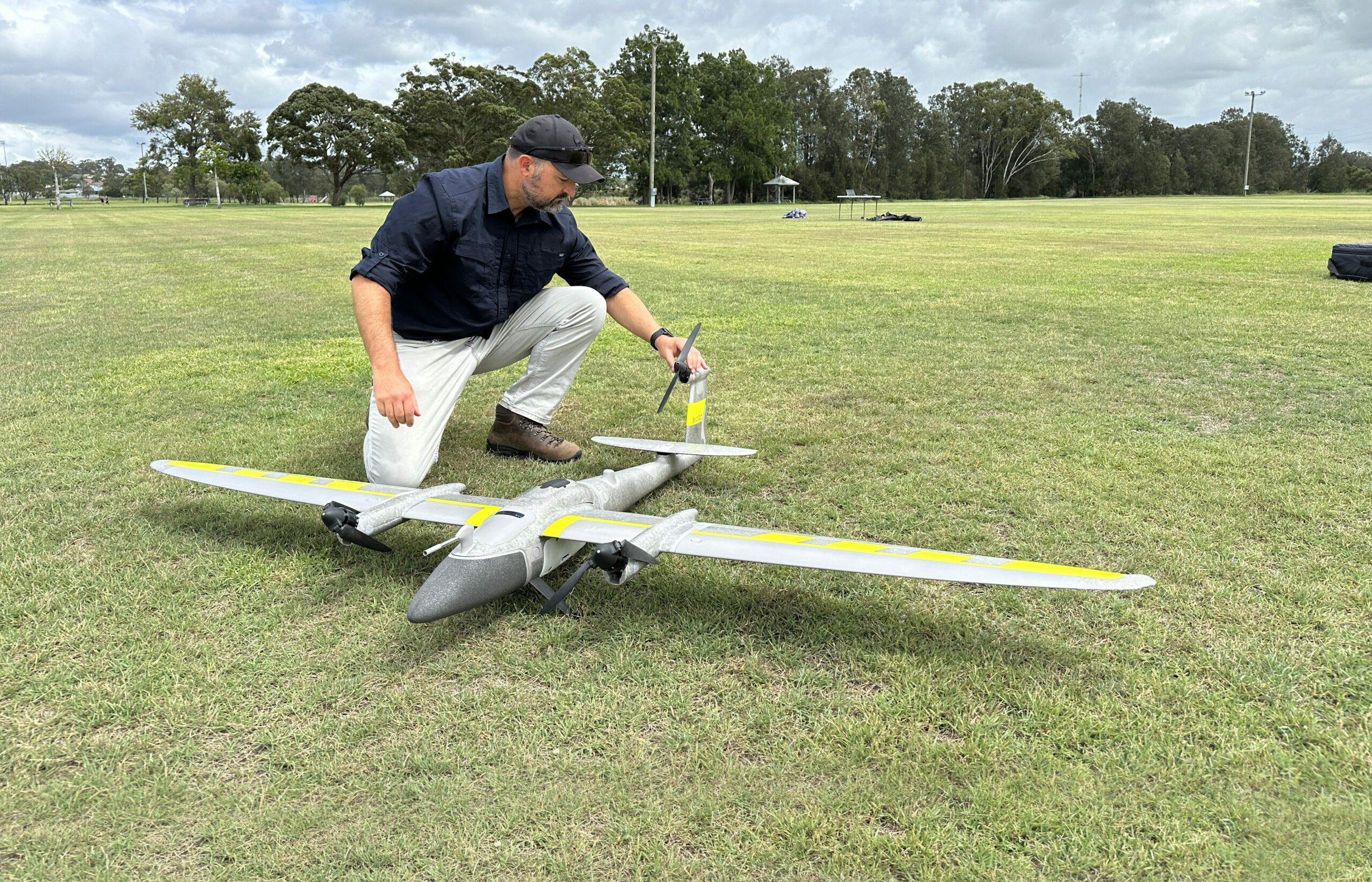
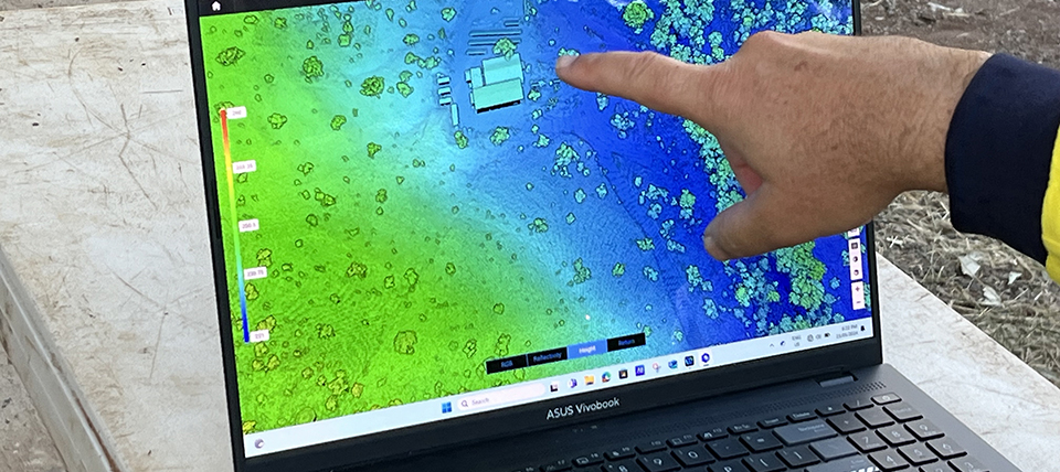
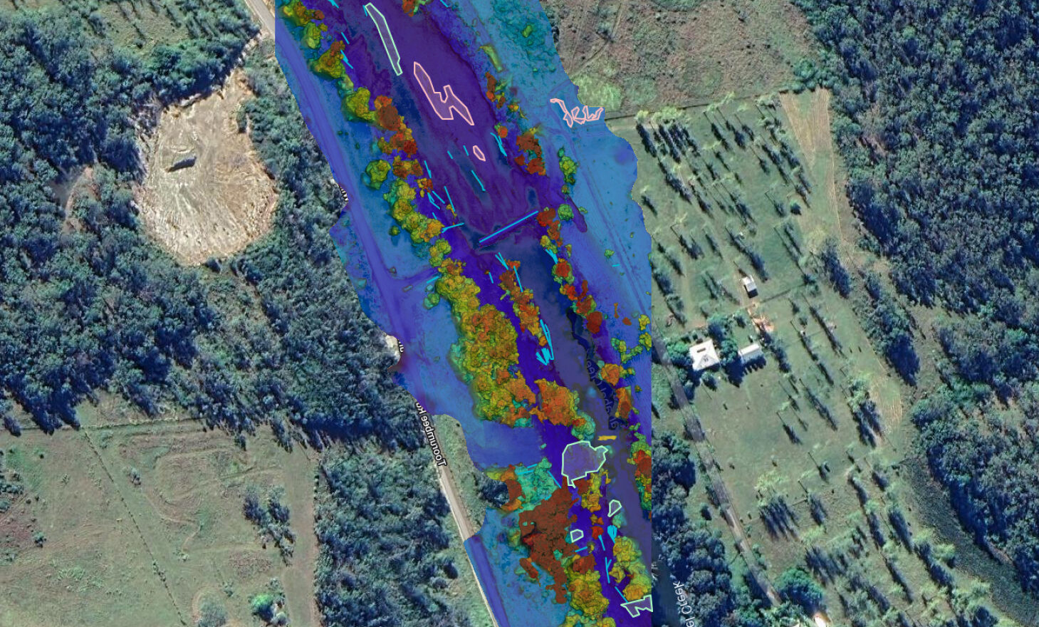
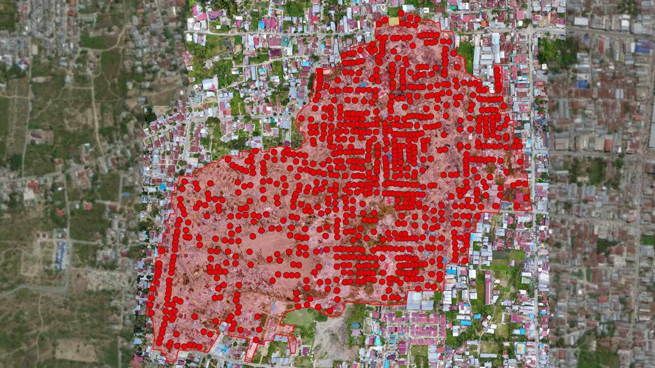
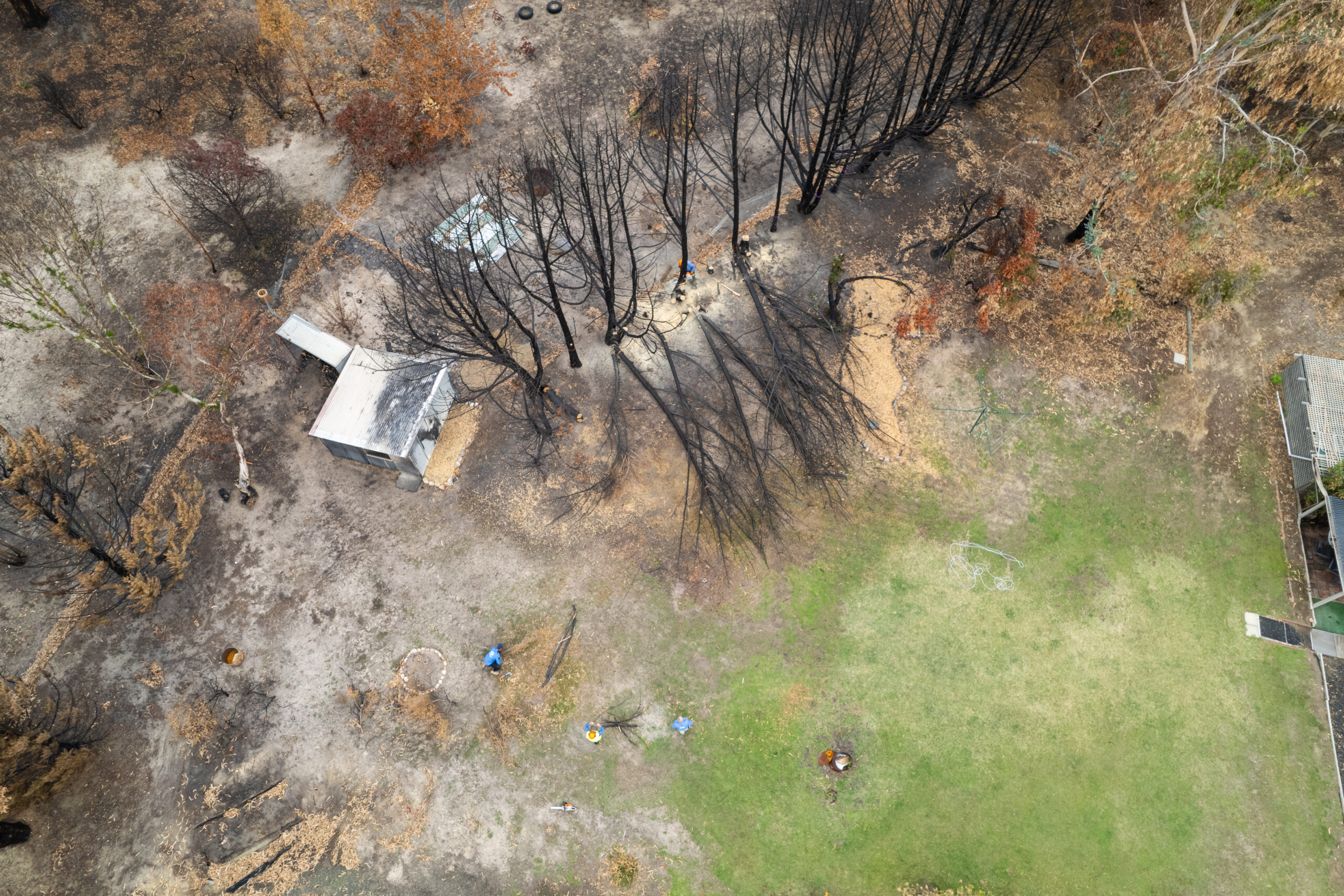
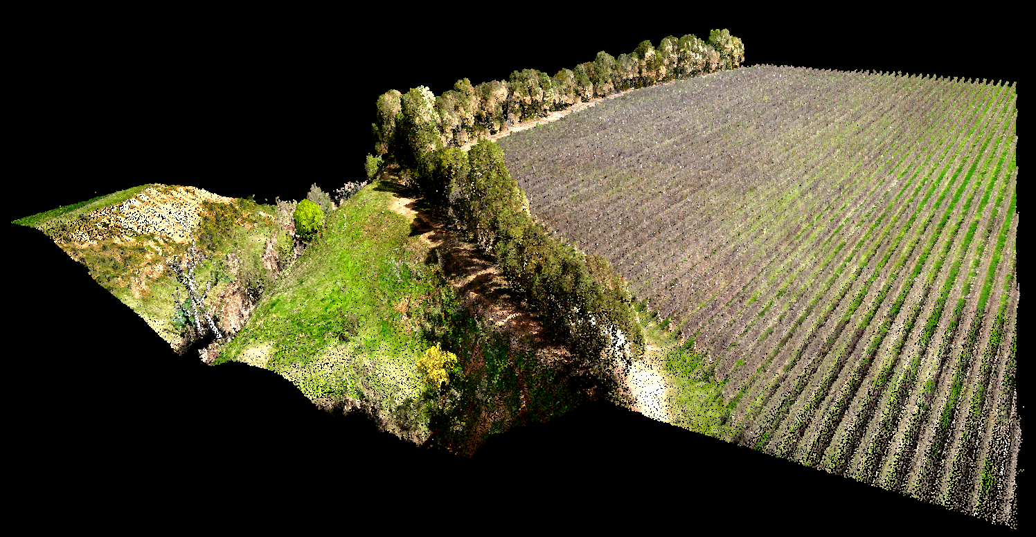
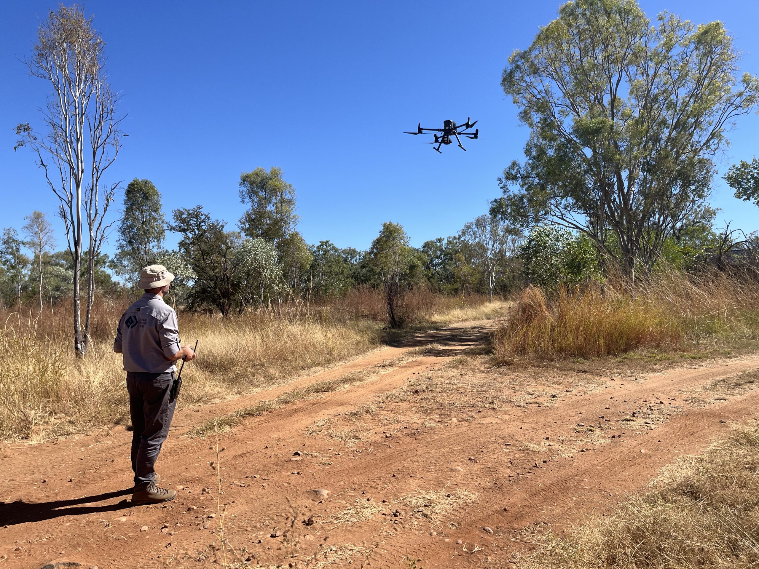
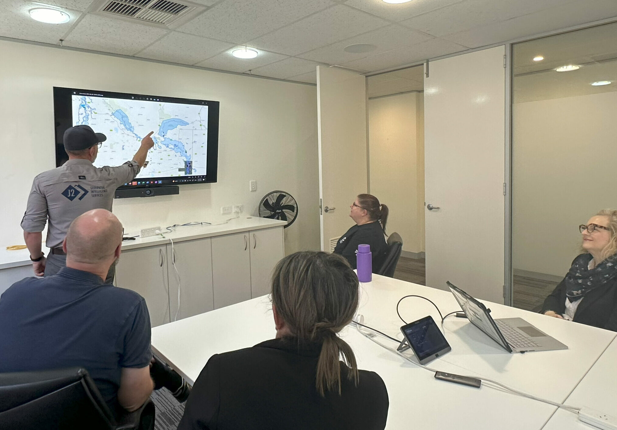
As part of this integration, we will expand our portfolio to provide more professional and strategic services including crisis management, leadership development training and business continuity planning. While this means a shift from geospatial intelligence as our core social enterprise commercial offering, GIS remains a part of our service offering.
We will continue to deliver geospatial intelligence services, however, will also diversify our commercial service offering, which will include:
• Business continuity planning
• Crisis management planning
• Leadership development training